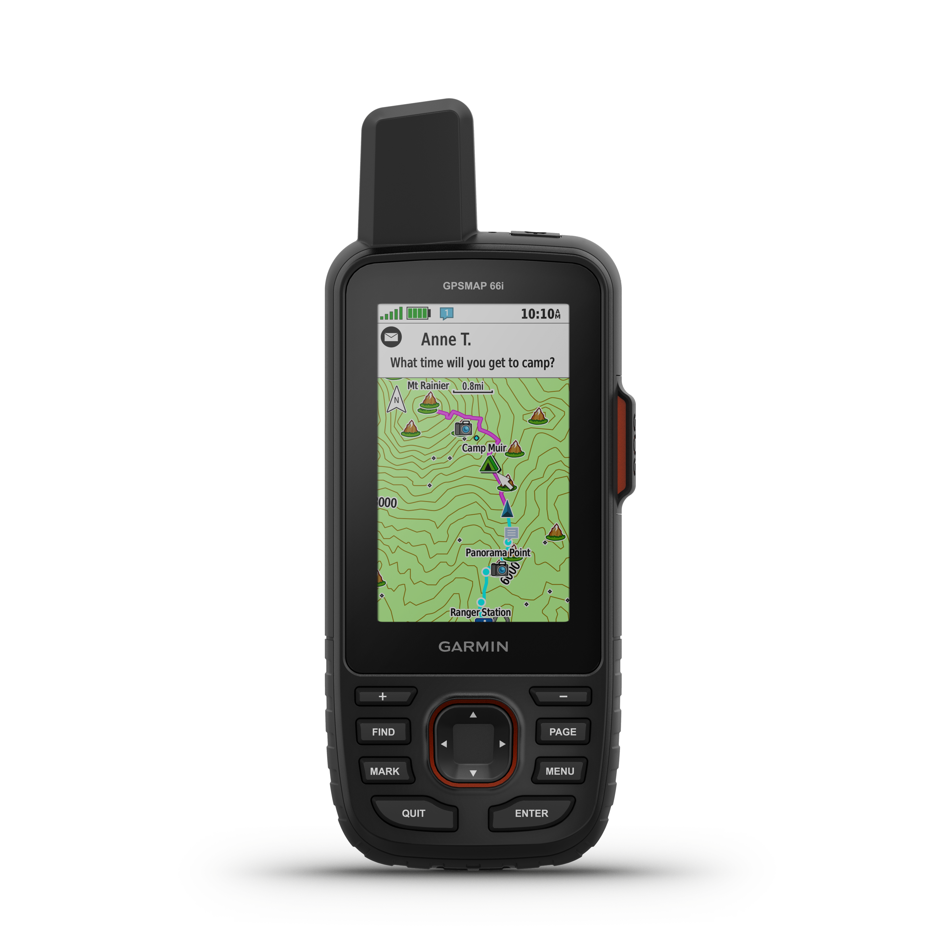
Ken's PCT Thru-Hike. Follow me on my 2018 through-hike of the Pacific Crest Trail, a 4280 km long, continuous footpath from the Mexican border to the Canadian border through California, Oregon, and Washington.. Follow along online. The MapShare site shows the progress of someone tracking with an inReach satellite communicator. Read messages they have sent to MapShare. You can even reply.
