CIRCUM SVALBARD 2026 - Thomas og Morten. Unsupported from Longyearbyen (Start) - Verlegehugen (North) - Sørnesset (South) - Longyearbyen (Finish).
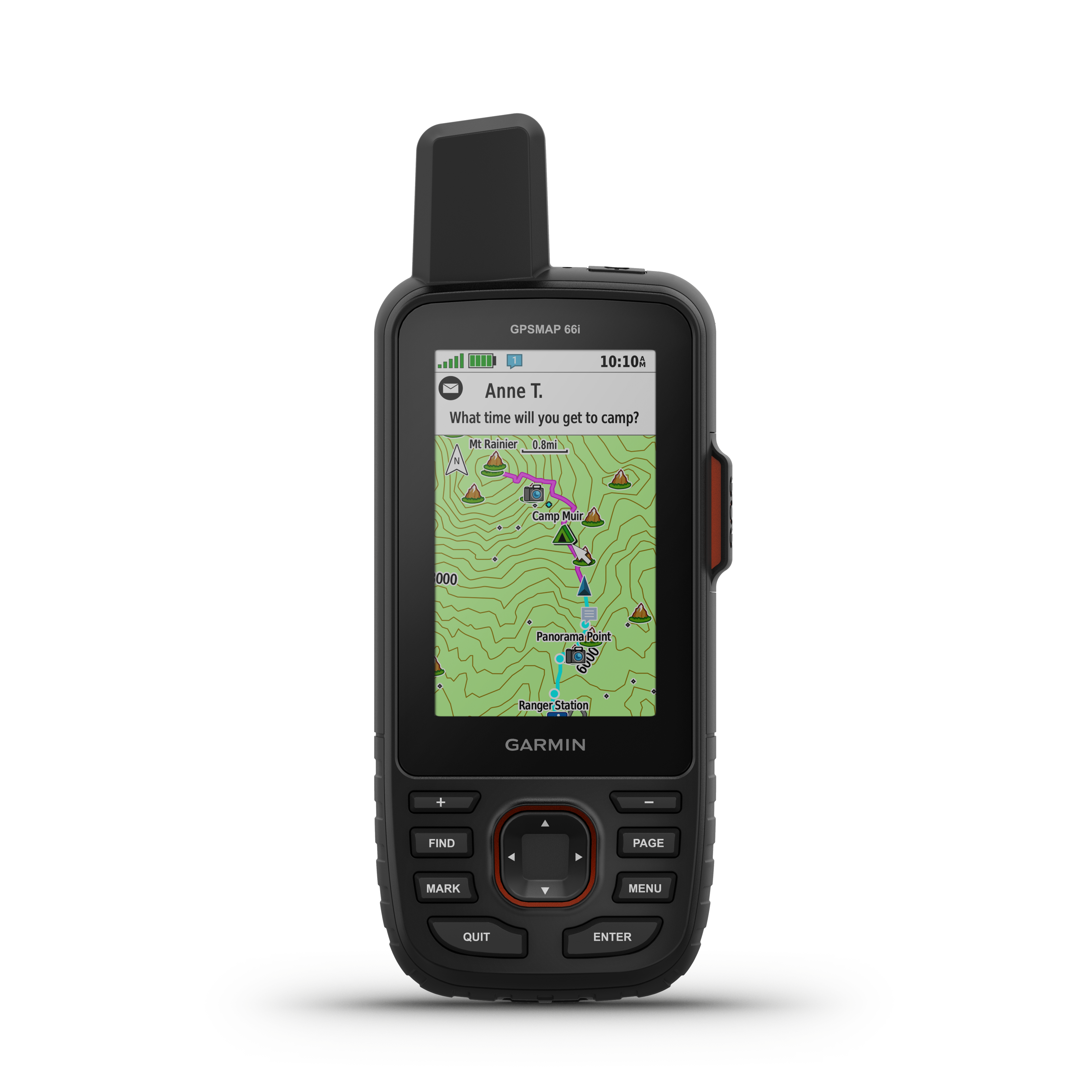
. Follow along online. The MapShare site shows the progress of someone tracking with an inReach satellite communicator. Read messages they have sent to MapShare. You can even reply.